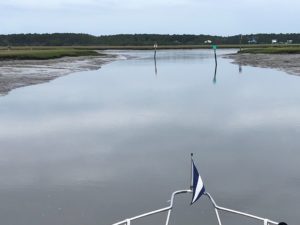
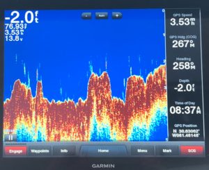
Our morning briefing was a little more intense today — a very tricky bit of navigating was ahead of us. Especially confusing (for me) in that part of the route followed “Red Right Return” rule and then switched to the “leaving ICW” rules which put Green on the right and Red on the left. Tricksy. We used both electronic and paper charts and paid attention to the temporary day marks that have changed the routing in some sections. Mostly deep water, but some areas crossed into shallower channels.
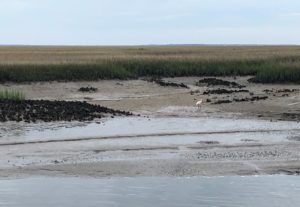
We started with a slow, careful departure from Amelia Island at pretty much low tide and spotted a roseate spoonbill, a rarity for us.
We love Fernandina Beach (thus our two day stay here). Wonderful shops, great restaurants and previously, a terrific marina right at the foot of the Main Street. Hurricane Irma devastated the marina. They are still operating at about 20% strength. They’ve replaced a lot of the walkways, but most of their docks still don’t have electricity. We also noticed that a couple of favorite stores have closed, no doubt because of the lack of customers as Irma approached and the downturn in tourism immediately after. But there were a couple of new ones and the whole street looked very busy when we were there.
Fernandina Beach also has two paper mills as neighbors, one to the south and one to the north. We learned that these paper mills also make a very pure cellulose product, 40% of which is shipped to China. Hmmm.

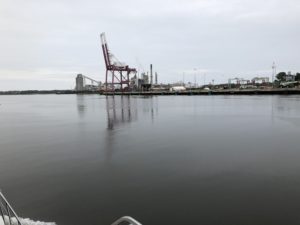
Our friend Ron Greeley, who has cruised the ICW dozens and dozens of times, warned us about St. Andrew Sound before we made our first trip from Charleston to the Keys. He advised us to put off a crossing — or even sell your boat — before attempting to cross on a bad weather day. The shoaling in this area means you have to make a large loop which brings you incredibly close to the surf line. The charts are filled with “breaker area” notations across the whole mouth of the sound. So if there are high winds, you can find yourself in the surf. We had a bumpy but safe crossing — except for the two bottles of wine that got launched across the galley. One broke (white!) and the other just spilled (red!). I wanted a new kitchen carpet anyway.
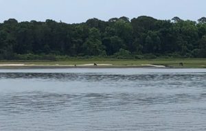
In addition to seeing the roseate spoonbill this morning, we also saw wild horses on Cumberland Island wandering along the shore. And we were entertained by 5 or maybe 6 dolphin swimming alongside the boat. Alas, no photo as they dove under the boat by the time I’d grabbed the camera. Horses are much easier to shoot (the camera kind, not the gun kind), so I did get a picture of them though it is a very long distance shot and you will have to look very hard at the photo to see them.
