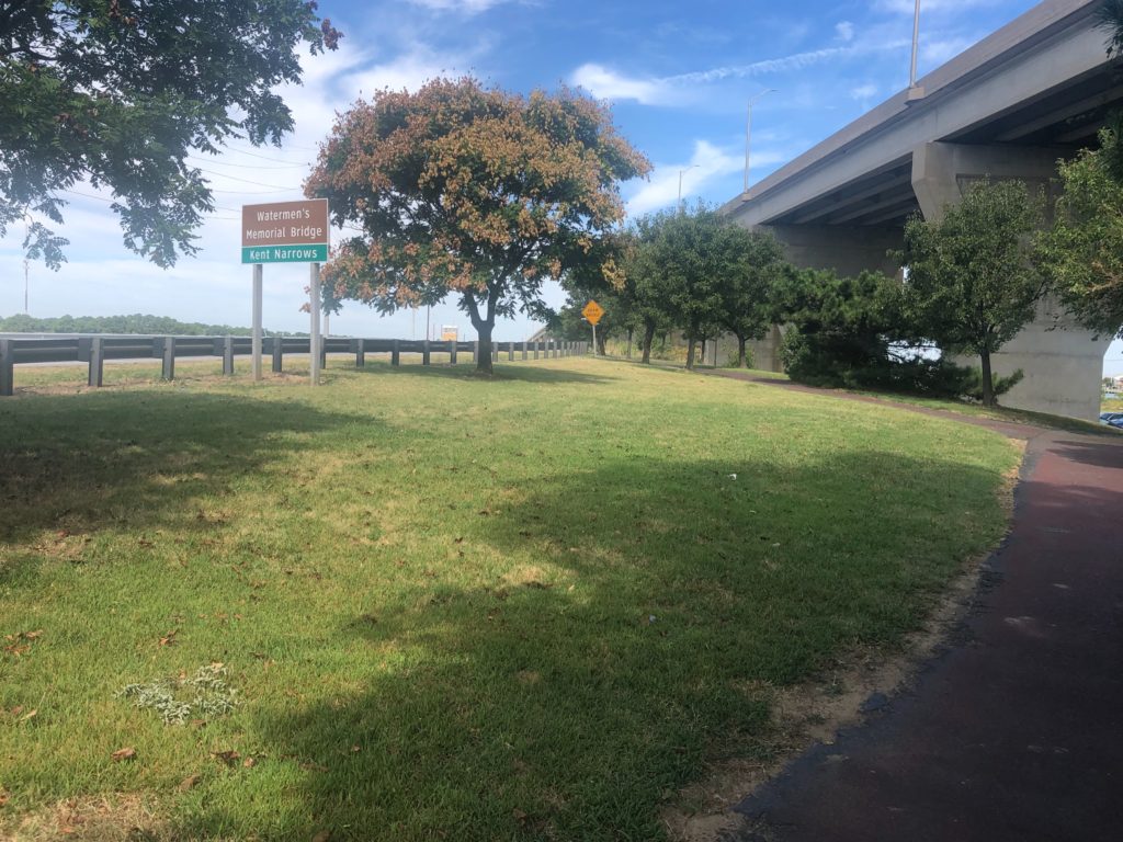
They weren’t kidding when they named this spot — possibly the narrowest bridge passage we’ve ever navigated. After a pleasant cruise out of Eastern Bay (St. Michael’s) through Prospect Bay, we reached the Chester River which begins with a low clearance and very narrow passage under a bascule bridge followed immediately by a modern, 65-foot high expanse. We learned that the bascule bridge used to be the only access to the beaches in this area and the bridge opened for boat traffic every half hour for about 10 minutes…..I can only imagine what the back-ups must have been like.
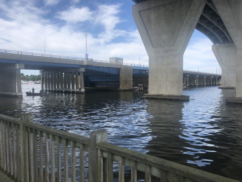
Old bridge and new 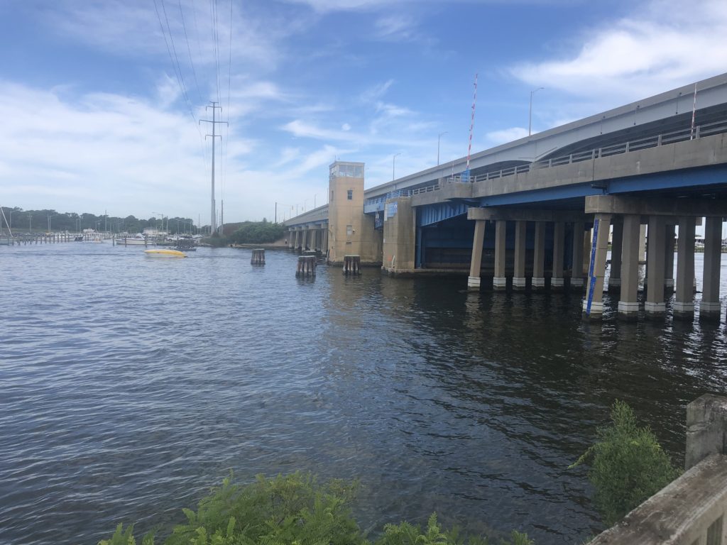
Narrow entry! 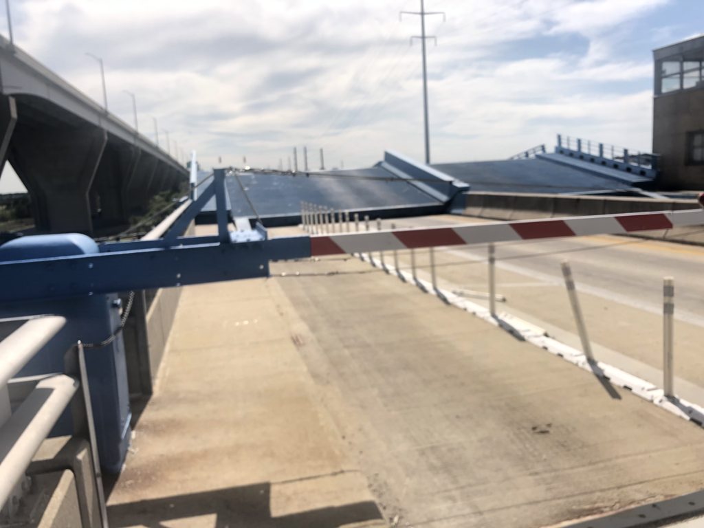
Drawbridge up! 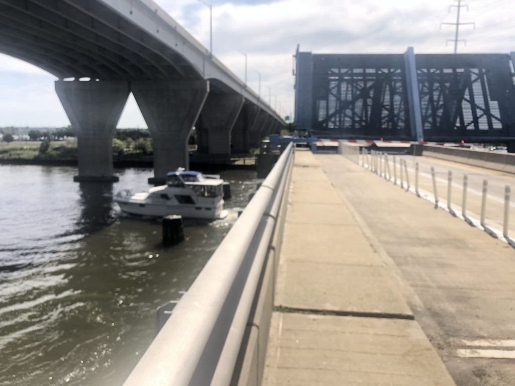
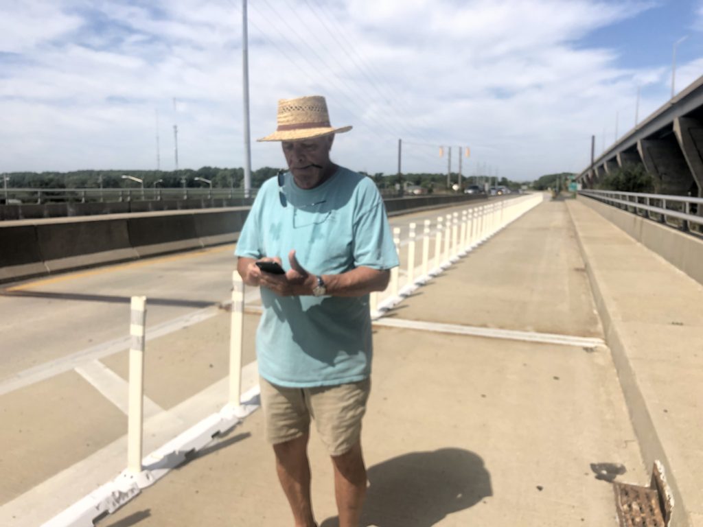
Pedestrian and bicycle path across the bridge.
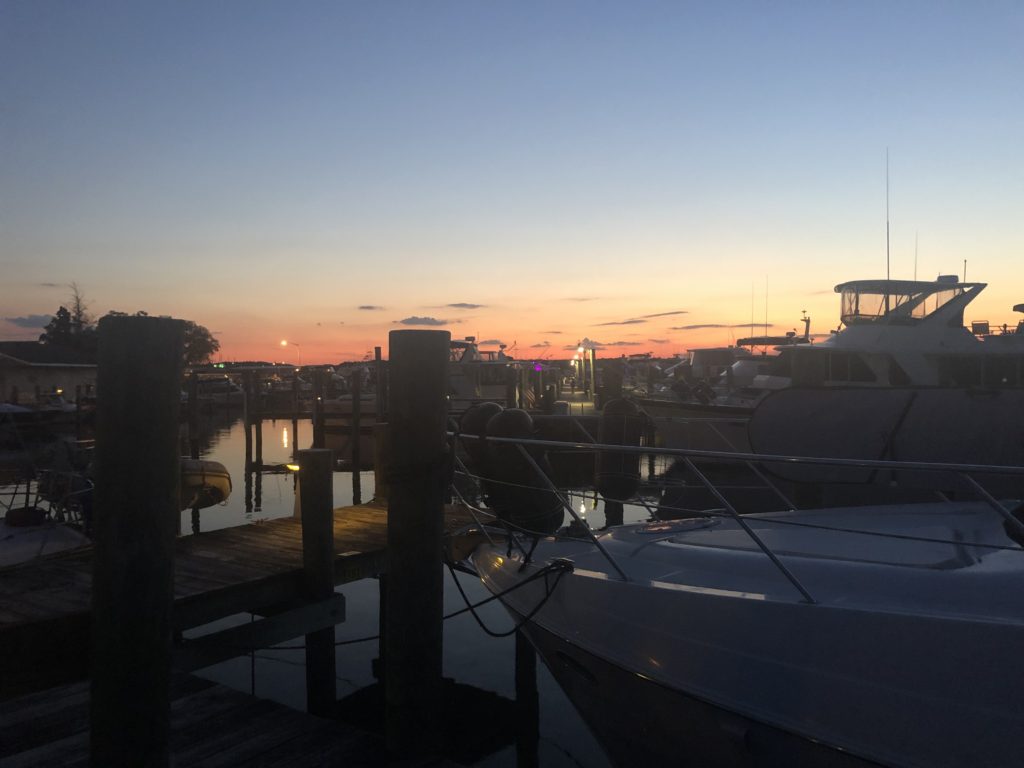
The “narrows” under the bridges plays havoc with the Chester River’s current, a worrisome aspect of preparing to dock at an unknown marina. The water swirls in haphazard patterns and the current seems to be moving by the bridge pylons in both directions. Happily, the marina features a long entry channel and advantageous protection from winds off the Chesapeake Bay across the Kent Narrows peninsula.
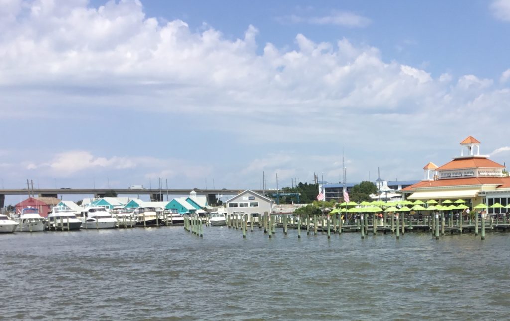
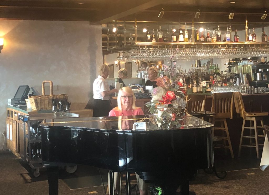
We were able to get a good look at both bridges by following a hiking trail leading from the marina, across the bascule bridge and onto the Kent Narrows peninsula (where we’d hoped to, but didn’t, find a cool restaurant we read about). Not to worry! There were several restaurants adjacent to the Mears Marina, one of them named Annie’s. How could we resist.
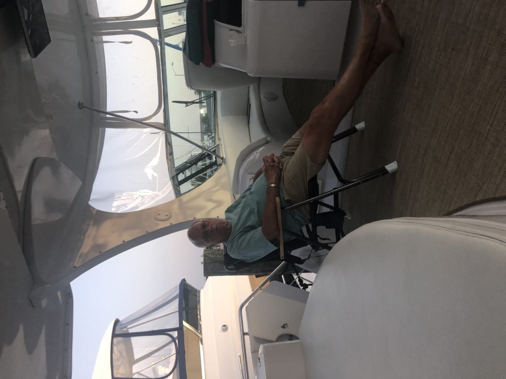
Our two day stay at Mears was completely relaxing (aren’t they all?!). And the hot spell of weather was broken. Kent Narrows is the farthest north that we’ve been on the Chesapeake and we wondered whether even this relatively short distance made a difference in the temperature. (Don’t think so.) We used the pool, hiked the trail across the bridge, read, watched a Cubs game (the magic of Apple TV and internet) and lazed.
